1

Maquoit Bay, Brunswick

Maquoit Bay is a there-and-back 1.0-mile trail that takes you through a forest to a rocky outcrop on the shallow Maquoit Bay. Because the path follows an old woods road, it’s quite wide and fairly flat. It gets a touch hairier at the end, near the bay, where it narrows and becomes rootier. And it will be hard for people with bad knees to scramble down to the rocks.

At high tide, people can slip off the rocks to swim in the relatively warm waters. (We’ve seen people swimming here in March! Gulp.)

Directions: The fairly large parking lot for the trailhead is on Bunganuc Road, about .6 miles from the intersection with Woodside Road. The trailhead will be on the left is you’re coming from Woodside Road.


Denny Reed Point Trail, Phippsburg


Sprague Pond Trail in red, Mica Mine in green, Denny Reed in blue and New Meadows in lilac.

Like the Mica Mine trail, the Denny Reed trail  is part of The Nature Conservancy’s Basin Preserve. Denny Reed is a beautiful walk, with trails to two ledgy points where swimming is possible. To the first point, it’s approximately .9 miles. And from there, it’s another .3 miles to the second point. Both are spectacular. 

The trail head is off Decker Hill Road, a dirt road that’s also good for a walk (if there aren’t too many trucks and four-wheelers zooming by). There are a few other trails in the basin, which I’ve marked on my map. They’re connected by a dirt road.

Directions (from Maine Trail Finder): From Route 209 southbound in Phippsburg, turn right onto Basin Road (about 0.7 miles south of the intersection of 209 and Parker Head Road). Proceed on Basin Road (it turns to gravel) about 1.6 miles, passing two gravel roads intersecting from the right. At the intersection at mile ~1.6, stay right to continue on Basin Road, shortly passing a boat launch on the right. As you ascend away from the shore, at ~2miles from route 209, bear right on Decker Hill Road. Travel ~0.25 miles and park on the right at the east trailhead.

ngg_shortcode_0_placeholder


Winslow Park, Freeport


In the summer, this is a very  popular town-owned park and campground, and it charges visitors a few dollars to get through the gate. From October to May, hikers, joggers, skiers and showshoers can use the trails for free. I think the off-season is the best time to come — it is still a popular spot on weekends for walkers and their dogs, but is much more serene. The views, the pier, and the sandy beach are gorgeous.

The campground roads are passable for strollers and wheelchairs, and the walking paths are pretty wide and smooth, too.

Directions: Get off I-295 at the Yarmouth/Freeport exit, and then take Route One (North if you’re coming from the south, and Route One South if you’re coming from the north.) Turn onto South Freeport Road at the blinking light, then take a right onto Staples Point Road which will take you into Winslow Park.


ngg_shortcode_1_placeholder


Mica Mine, Phippsburg


Sprague Pond Trail in red, Mica Mine in green, Denny Reed in blue and New Meadows in lilac.

The 1.5-mile Mica Mine trail is part of The Nature Conservancy’s Basin Preserve. A glittering trail covered with mica winds up a hill, passing old pits of former mica mines to a pitch pine forest. The first half mile to the .5-mile loop climbs slightly. The trail is wide and easy to follow.

The trailhead is off Meadowbrook Road but has no trailhead sign or kiosk. At the trailhead there is a small area to park, and a visible track heading into the woods blocked by a wall of boulders. 

Mica mining was common in the early 20th century, as the substance is heat resistant and was once used for electrical insulation and heat shields in furnaces — and, I think, old car windshields? Someone told me that once. (A visitor to this site tells me that no, mica wasn’t used in windshields but “was used in the transportation industry around 150 years ago. It is known as eisenglass (German for iron glass). It can be found in broad sheets that flake apart. Thin layers of sheets are translucent. In old carriages, mica was used as window material—glass was too breakable, but mica can bend somewhat. From the musical, Oklahoma!, in the song, “Surry with the Fringe on the Top,” the surry (the horse-drawn buggy) has “eisenglass curtains you can roll right down, in case there’s a change in the weather.” Old wood stoves had eisenglass windows in their doors—you could see the fire inside, and the mineral could take high heat, unlike the window glass in those days, which could shatter if exposed to sudden temperature changes (like when opening the stove door).”

There are lots of other trails in this Basin area, which I’ve marked in different colors on the map. They’re connected by a dirt road that is nice to walk itself, as long as there aren’t too many trucks and four-wheelers.

Directions: The Mica Mine trailhead is on Meadowbrook Road, the rough gravel part. If you’re coming southbound on Route 209, turn right onto the Basin Road (about 0.7 miles south of the intersection of 209 and Parker Head Road). Go roughly 1.4 miles to the intersection with Meadowbrook Road on your right. About .3 miles, you’ll see a little pull-off on the right side of the road where you can park. The trail heads into the woods from here.

ngg_shortcode_2_placeholder


Pettengill Farm, Freeport

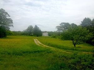
Pettengill Farm is a 19th-century saltwater farm on the estuary of the Harraseeket River, and is owned by the Freeport Historical Society. The entrance road, which is unpaved but fairly easy walking (and wheelchair passable, I think), takes you to a saltbox home, ca. 1800, which sits amid 140 acres of fields, woods, “antique” apple orchards and a salt marsh. The footpaths, which are marked with signs, aren’t wheelchair passable. They wind through woods and to views.

When I revisited the farm in the fall of 2017, the trail system had been expanded and improved. The trails are easy to follow and quite pretty.

Directions:  From Main Street in Freeport, turn east on Bow Street (across from L. L. Bean, Inc. main entrance). Go 1.5 miles; turn right onto Pettengill Road. Park at the gate. Walk the dirt road for about 15 minutes to the farmhouse.

ngg_shortcode_3_placeholder


Mast Landing Audubon Sanctuary, Freeport


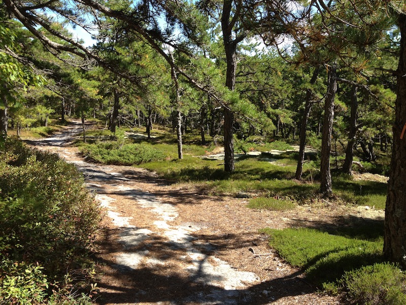
This preserve offers a varied and pleasant walk through more than 100 acres of hemlock and white pine forest, an overgrown orchard, small fields and, briefly, a trail that follows a pretty creek. Some of the trails are ever so slightly in need of refreshing and updating, and it can be wet going in the spring.

The sanctuary abuts the Harraseeket River estuary. The name of the preserve derives from the days (early 1700s) when masts were made here for the British navy. In time, the stream powered a saw mill, two grist mills and a woodworking shop. You can still see the remains of the mills dating back to the early 1860s, when a fire destroyed the operation. 

Directions: Take exit 22 to merge onto ME-125 S/ME-136 S/Mallet Dr toward Freeport. Turn right onto Main St. In about .2 mile turn left onto Bow St. After about 1 mile turn left onto Upper Mast Landing Rd. The turn-in is about .2 mile up the road on your right. Parking is to the left.

ngg_shortcode_4_placeholder


Spirit Pond Trails, Phippsburg


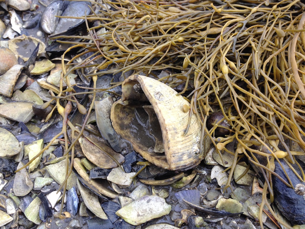
The tidal pool Spirit Pond is aptly named. This is a walk not to be missed, for the views, the birds, the beauty. Count on walking about three miles if you do the main loop and its spur trails to views, all very pretty. You can park at the trailhead but it is not plowed in the winter. If you head to the left from the main trailhead on Route 209 you’ll make your way to McDonald Sanctuary and can do a small loop before doing the bigger, more dramatic loop on Spirit Pond. There are lots of beautiful views in this preserve of the pond and of the Morse River salt marshes. It does tend to be buggy here, so bring bug spray. It’s also possible to swim in the pond, or at least, people have been seen swimming here. I cannot vouch for it!

Directions: From the Center Store, go roughly 4.6 miles south on Main Rd. (Rte. 209), and turn left onto Popham Rd, (Rte. 209) when it intersects with Route 216. Continue approximately 1.5 miles. A small parking area and trail-head are on the right.

ngg_shortcode_5_placeholder