QUICK TRAIL FACTS
- Preserve Size: 150 acres
- Trail Mileage: ~2.6 miles in network
- Pets: yes
- Difficulty: easy to moderate
- Sights: Dyer Bay, blueberry fields, views from open ledge
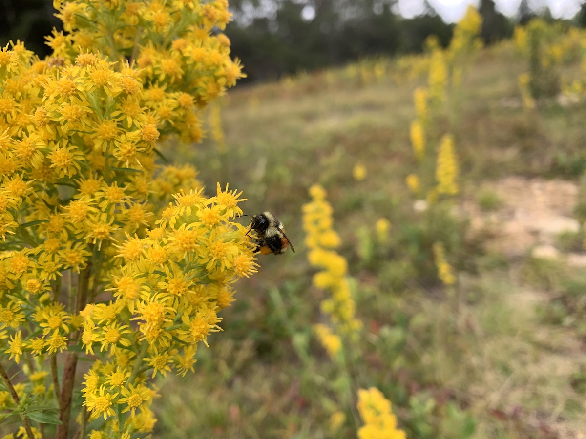
A natural history institute—one that also offers nature-related art workshops and chamber music concerts—really needs to have a rich and wonderful natural setting. And this one does, perched as it is on the top of forested 223-foot Eagle Hill. Its 150 or so acres include blueberry fields, several ledges with views, and a stretch of rocky coast along Dyer Bay. The best view is from Lover’s Leap, looking west. There is just a touch of an ocean view through the gnarled Jack Pines on the Jack Pine Trail.
The public is allowed to walk the institute trails, which narrowly wind through the different habitats on the hill. They are all well marked. I enjoyed the Border Trail the most—it is mossy, dark, and quiet, and the pitch to the sea, while steep, feels not quite as precipitously steep as on Eagle or Bear Trails. The Blueberry Trail is also lovely.
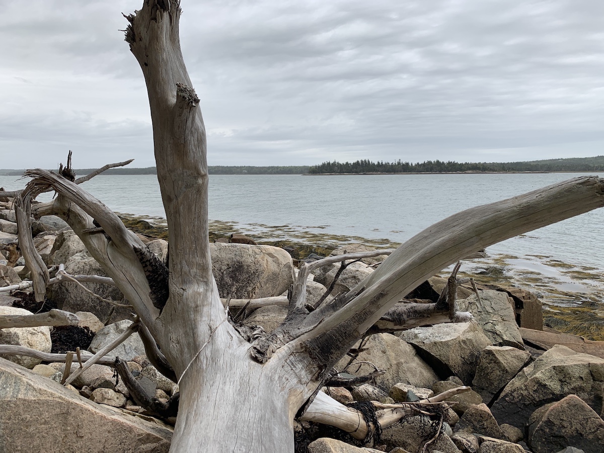
You can pick your way along the rocks on the shore if you hike down one of the institute’s walking routes. (It’s a little under half a mile as the crow flies from the institute to sea.) There is also a faint trail in the woods behind the shoreline between Bear and Eagle Trails that is slightly easier going than walking on the rocks, which can be slippery. At the end of Border Trail, you’ll find an old wooden staircase roped off with a private property sign. It is tempting to use it to get down to the pebbly beach! But if you’re squeamish about breaking social contracts, you can scramble down the bank instead.
If you get a chance, do check out the institute—particularly its large natural history library (which also has a lot of art books) and its chamber music room. Or even better, sign up for one of its many natural history programs or attend one of its community events.
Directions: The address is 59 Eagle Hill Road. From Route 1, turn onto Dyer Bay Road. At a T-intersection after a small bridge turn left onto Mogador Rd. Turn left onto the dirt road Schooner Point Road. After the first hill, turn right onto the dirt Eagle Hill Road. The large Commons Building and smaller office building will be on your right and the first parking lot will be on your left. The easiest way to find the trail system is to continue to the farthest parking lot, which will be on your left. Two of the trails begin from this lot (Border Trail and Orchid Trail). There is also a path between the Commons Building and the office leading to the Leap Trail. The trailhead to the Sunset Trail is back down the road you drove in on.