QUICK TRAIL FACTS
- Preserve Size: 209,644 acres
- Trail Mileage: 2.8 miles one way (from Kidney Pond)
- Pets: no
- Difficulty: moderate
- Sights: views, Kidney Pond
Sentinel Mountain trail in yellow.
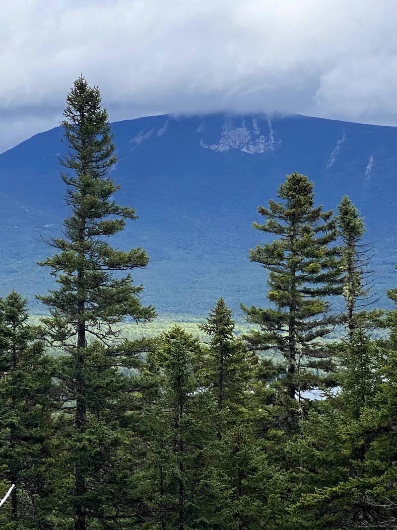
The hike to the 1,842-ft. mountain is approximately 2.8 miles one way from Kidney Pond. From the trail head, the trail to Sentinel Mountain winds around Kidney Pond for ~0.5 miles before heading off to the right (south). This section around the pond, while flat, is quite rock-strewn (it’s fun for kids to jump from rock to rock). There are some great views over the pond.
Once you make the turn to the mountain, you walk 2.3 miles through forest and over bog bridges. The final 0.5 miles to the summit is up a steeper pitch, until you reach the .6-mile relatively easy loop around this small but magnificent mountain. There are views in every direction. Do the loop — and then if you have time, do it again! It’s amazing. One ledge is called Sunset Ledge, and I imagine they’re wonderful from here.
Here’s a great hiking resource to Baxter State Park.
Directions: One place to catch the trail up Sentinel is from the parking for the Kidney Pond cabins. From Togue Gatehouse, drive 11 miles west along the Park Tote Road. You’ll see a sign for Kidney Pond on your left, and the drive in is about a mile. You can also hike Sentinel Mountain from Daicey Pond, the road for which is slightly before Kidney Pond, again on the lefthand side of the Park Tote Road. The hike is a little longer from Daicey Pond, all told about 3.5 miles one way.