• Maine by Foot
  • 🔍 Find Your Next Walk🔍 Search
  • Browse by Town/RegionTowns
  • Explore by SightsSights
  • Map of TrailheadsMap
  • About

White Mountain National Forest

View larger map

Map shows Oxford County. Park trails below.

04.09.26

Wheeler Brook Trail

By Sam Shirley This lightly used trail in the White Mountain...
▶
09.06.16

Blueberry Mountain and Rattlesnake Pool

Map legend: Blue trails, Blueberry Mountain and Rattlesnake Pool loop. Speckled...
▶
09.06.16

East and West Royce Mountains

Map legend: Purple trails, East and West Royce. Blue trails, Blueberry...
▶
09.06.16

Speckled Mountain

Map legend: Pinks trails, Speckled Mountain. Blue trails, Blueberry Mountain and...
▶
09.06.16

Albany Mountain

The best way to tackle this wonderful 1,934-foot mountain is to...
▶
09.06.16

Shell Pond Loop

Map legend: Yellow trails, Shell Pond loop. Blue trails, Blueberry Mountain...
▶
07.26.16

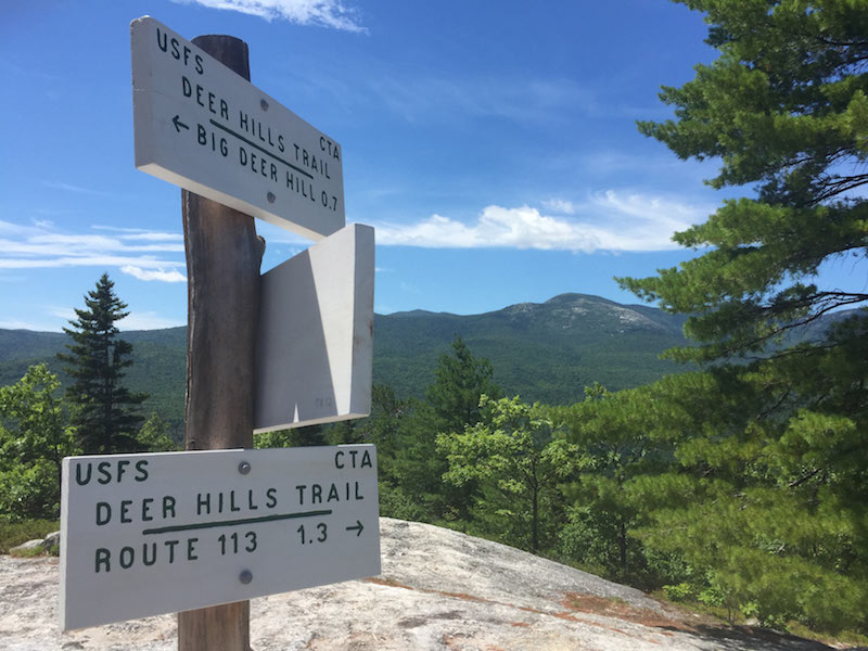
Little Deer and Big Deer Hills

By Michaela Goldfine At this 4.5-mile trail network, you can do...
▶
07.26.16

Lord Hill and Pine Hill

The trail systems of Lord and Pine Hills are in blue;...
▶
07.26.16

Albany Brook Trail (to Round Pond)

From the Crocker Pond campsite, where you can park, you can...
▶
07.26.16

Caribou Mountain

This is a beautiful hike, with an open summit (2,844 ft.)...
▶
07.07.16

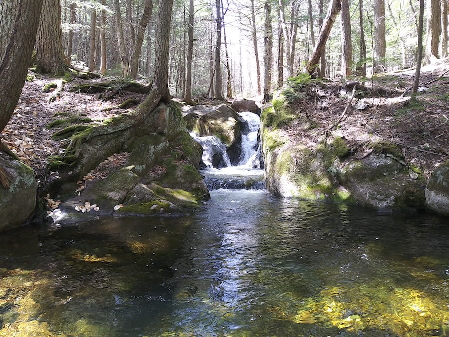
The Roost

The Roost offers a 2.1-mile loop (the last stretch along Route...
▶

Post navigation

Photo of Rebecca Goldfine

About Maine by Foot

Maine by Foot is a long-running independent guide to Maine's trails, preserves, mountains, woods, and shore paths—created to help celebrate public trails and conserved land.


decorative
Independent & ad-free Practical information and firsthand observations.

decorative
Always growing New trails and updates added year-round.

decorative
Made with love for Maine, its people, and its wildlife.
decorative