QUICK TRAIL FACTS
- Preserve Size: 73 acres
- Trail Mileage: ~1.3 miles in network
- Pets: yes
- Difficulty: easy to moderate
- Sights: one of the northernmost stand of mountain laurel, seasonal waterfalls, a huge bolder covered with leatherleaf lichen
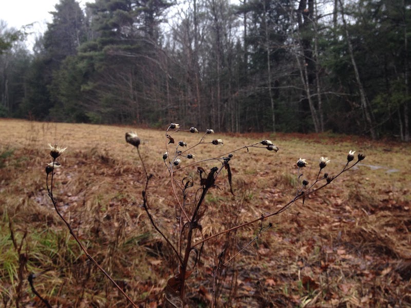
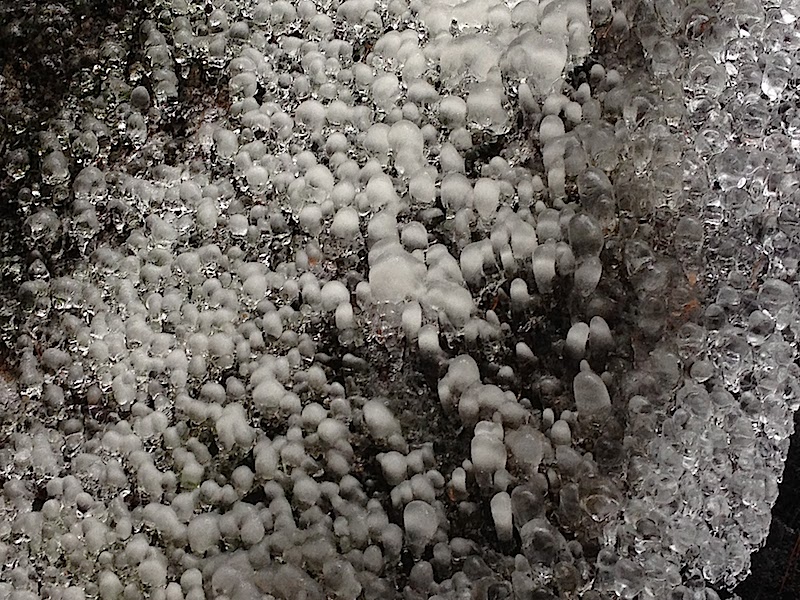
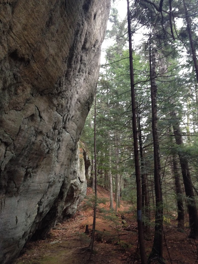
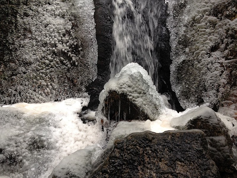
There are no stunning ocean views here, but this land offers quite a few delights — a towering 100-foot rock, a waterfall, interesting fungi, small meadows, crisscrossing streams. The Phippsburg Land Trust says the 73 acres also shelter one of the northernmost stand of mountain laurel in New England. The laurel blooms in late June and early July. Once you reach the first meadow, look for signs for the mountain laurel (at the top of the field) or the waterfall (at the far end of the meadow).
Directions: Follow Route 209 into Phippsburg, if coming from out of town. At the Stony Brook Road, turn right (the Stony Brook Road is about 3.5 miles from the causeway at the Phippsburg/Bath town line). Devil’s Highway is a left hand turn about .6 miles from the start of the Stony Brook Road. The left turn comes at a sharp turn. If you’ve come to the Fuller Mountain Road, a similar left hand turn, you’ve gone too far. The parking area is on the left. There is a small PLT sign in the parking area.


Chicken of the Woods Locations at Spirit Pond Phippsburg Maine
There are huge amounts of chicken of the woods mushrooms at the Spirit Pond trail locations growing on old and fallen oak trees. They grow randomly between mid June through the end of October, with fall production being the greatest from September through October. Honey mushrooms are also found frequently at the same oak locations in October on the dead oaks and on the roots of living oaks.
http://goo.gl/maps/fhMLGsuWmxr
43.752408, -69.806937
http://goo.gl/maps/cNAj8TPVc5p
43.750986, -69.807275
http://goo.gl/maps/dvHmkXpNwUn
43.751461, -69.808005
http://goo.gl/maps/4zmGpaCoi2q
43.749886, -69.811110
http://goo.gl/maps/t75ubQYnyTM2
43.748844, -69.811986