QUICK TRAIL FACTS
- Preserve Size: Not sure
- Trail Mileage: 4.5 miles in network
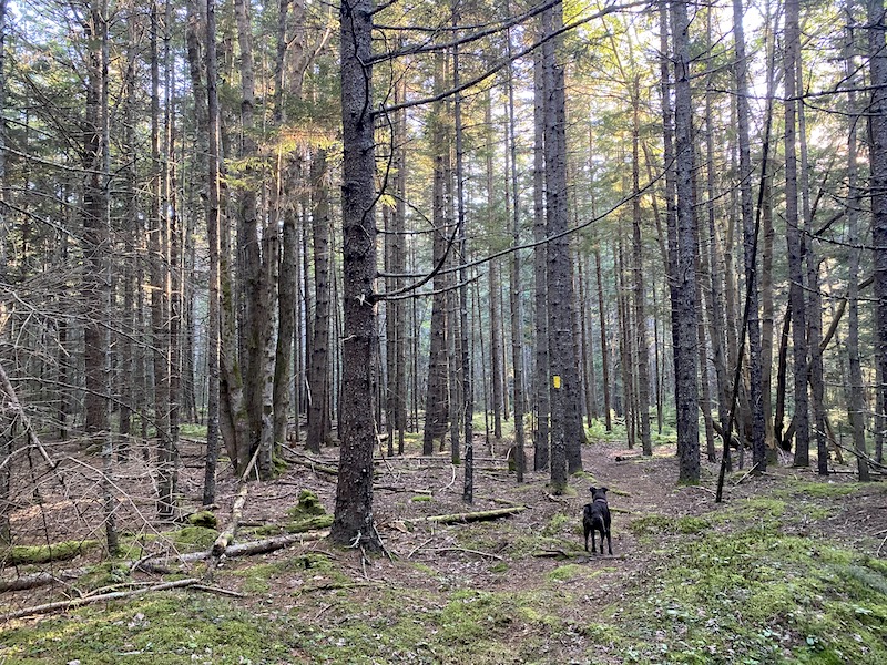
- Pets: yes
- Difficulty: easy to moderate
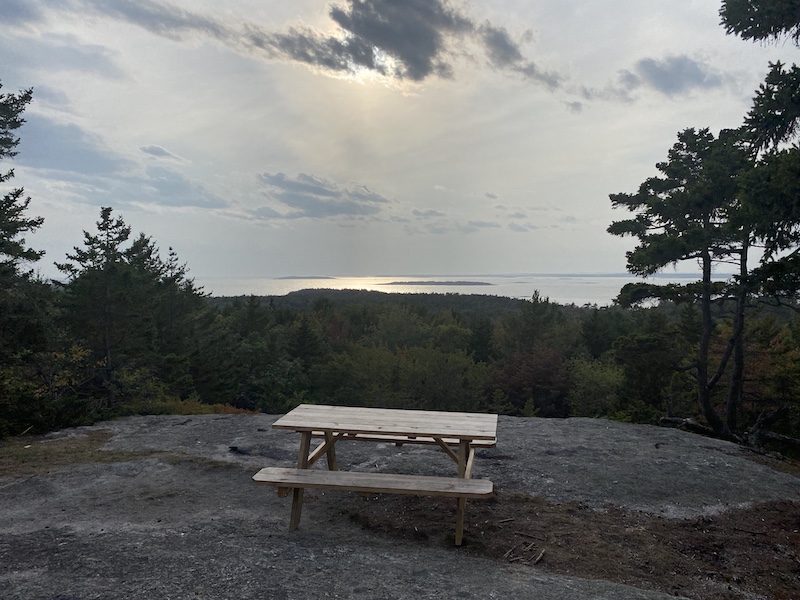
- Sights: views from summits
Map above shows Merritt Mountain and Bumper Rock trails in blue, and Totman Cove trails in red.
This is a wonderful walk on a well-made, well-blazed trail system. I recommend hiking from Merritt Mountain over to Robinson’s Rock (aka as Bumper Rock) for two astonishing sea views from high, open ledges.
In total, the network has almost 4.5 miles of trails that wind through diverse woods, including pitch pine forests. Several picnic tables have been placed at nice points along the paths, including atop both summits.
You can access the trail system from several places, including the US post office on Sebasco Road, or from Sebasco Road just a bit beyond where it intersects with West Point Road. There is also a trailhead off of Rocky Crest Lane, a private drive opposite Sebasco Harbor Resort.
The only issue here is parking. I believe Merritt Mountain is part of Sebasco Harbor Resort, and I’m not entirely sure where you should leave your car. The resort does have a general parking area close to Round Cove. To access this lot, you should drive down the main entryway of Kenyon Road. Look for an information sign that includes “Parking,” with an arrow to the left. Go left to follow a winding, narrow drive to a large parking area. Otherwise, there is a pullover for a couple of cars off of Sebasco Road near the trail to Bumper rock. You might also be able to park at the post office’s very small lot when it is closed.
Distances: From the trailhead off Rocky Crest Lane to the summit of Merritt Mountain, it is .4 miles, and not very steep, although there are a few rocks to pick your way over. From the summit of Merritt Mountain to Robinson’s Rock, it is just about .85 miles. The trail to Robinson’s Rock is fairly wide and clear, making for the easiest walking in the trail network. From Sebasco Road to the top of Robinson’s rock, it is about .5 miles. Finally, from the US post office to where the path intersects with the main trail system, it is roughly .7 miles.
Directions: Follow Route 209 south down the Phippsburg peninsula. Take a right onto Sebasco Road, and you’ll see two pullovers on your right after passing W. Point Road. From this point, a wide path across the street takes you up to Robinson’s Rock. For the trailhead closest to Sebasco Harbor, continue to Kenyon Drive, which will be on your left, or to the post office, which is farther along the road on the right.


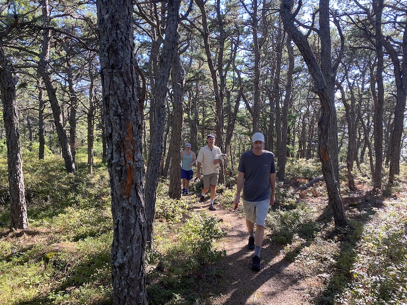
Trail is now well blazed.