QUICK TRAIL FACTS
- Preserve Size: 886 acres
- Trail Mileage: 4.2-mile loop (shorter walks also possible)
- Pets: yes
- Difficulty: easy
- Sights: Jamie's Pond, woods
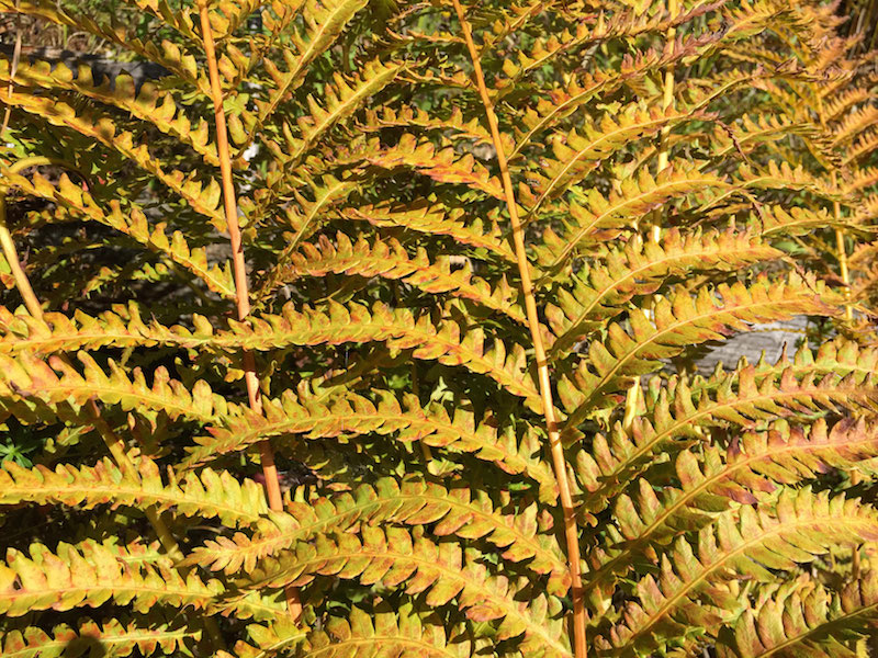
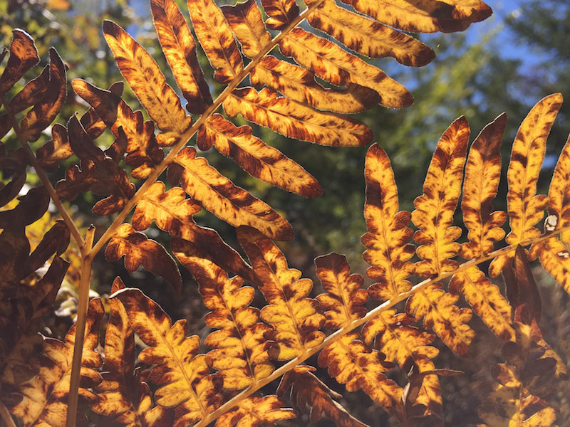
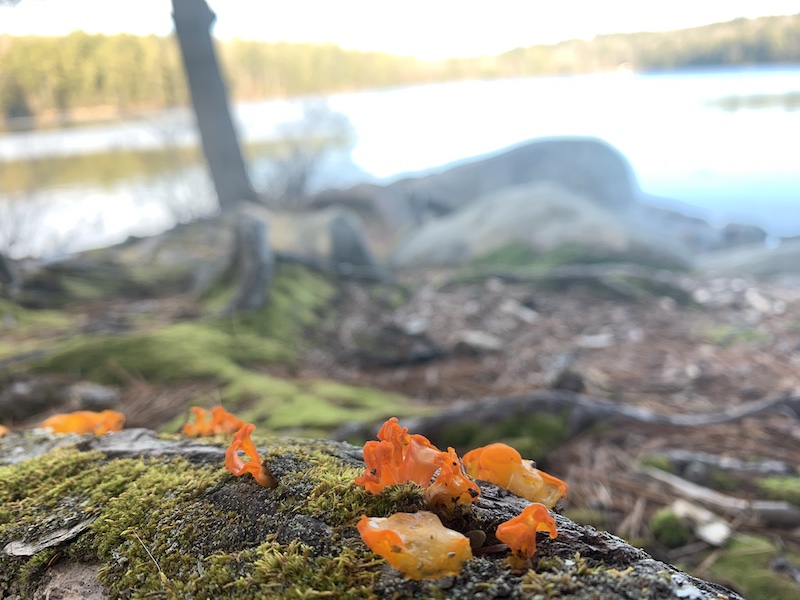
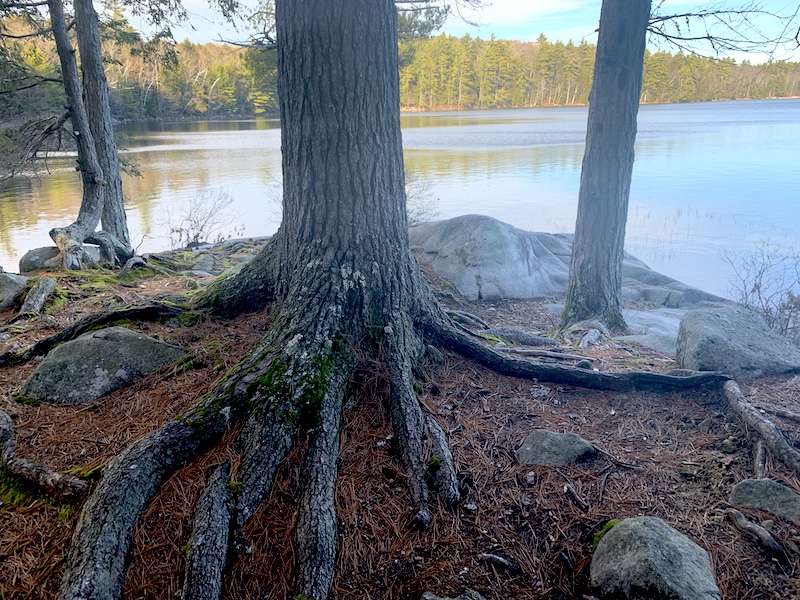
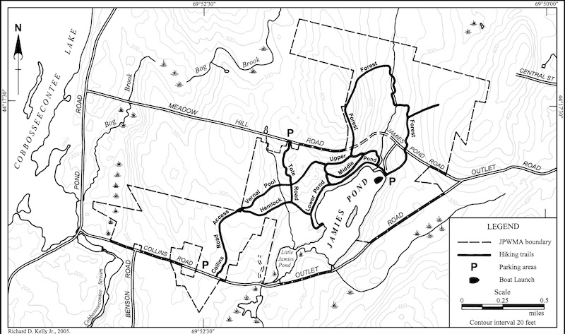
This is one of the nicest wildlife management areas I’ve walked around, with around 886 acres to explore. The trail system is large and well-marked (with maps set up at many junctions and, for the most part, trails with consistent blue blazes). I made a big loop on the outermost trails, and hiked roughly four miles. The land includes a beautiful pond, which seems like a great spot for swimming, especially at the ledgy lookout (I’ve marked it with a red icon on my map). The best way to tackle this area if you’re new to it is to start at the pond, where the trails are especially well marked and there is a large kiosk. There are two (quite small) trail signs here at either end of the lot marking the trail heads. There is also a good place to park with a kiosk at the entrance off Collins Road.
Directions (from Maine Trail Finder): From Hallowell: take the Outlet Rd to Jamie’s Pond Rd, a gravel road forking off to the right, marked by a small street sign. Go .5 miles, and look for a turn-off down to the pond on your left. There is also parking right at Jamie’s Pond Rd. The Jamie’s Pond Road entrance is gated part way down in the wintertime and spring until the road dries out. There is a winter parking area on the left near the gate.
From Manchester: there is access from both the Collins Rd and Meadow Hill Rd. The trailhead off the Collins Road is at a parking lot on the North side of the Collins Road in Manchester. The trailhead off the Meadow Hill Road in Manchester is off a parking lot on the south side of the Meadow Hill Road In Manchester.