QUICK TRAIL FACTS
- Preserve Size: 87,563 acres
- Trail Mileage: 2.3 miles one way
- Pets: yes
- Difficulty: easy to moderate
- Sights: Views of Baxter State Park mountains
Be ready for a long drive on back roads to reach this little hike. The summit is 1,628 feet and the elevation gain is a bit under 670 feet. The Katahdin Woods and Waters Monument still feels remote, wild, and undeveloped. I recommend a high-clearance car.
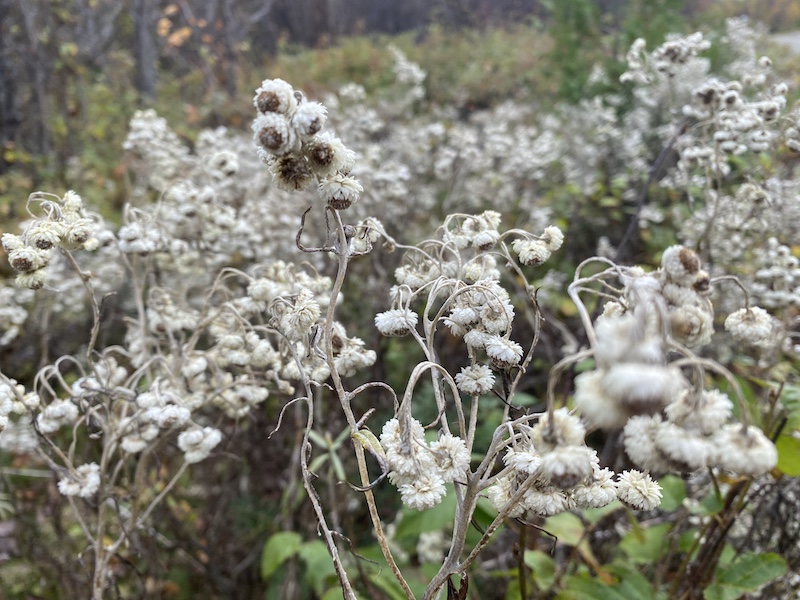
The hike itself begins on an old logging road that stretches for a mile in front of you. You’ll pass a lean-to on your left before heading up the gentle hill. At 1.0 mile, you’ll veer right on the road. Another logging road continues straight. This intersection has a sign for Barnard Mountain.
Walk just about a half-mile more and you’ll arrive at the footpath. This is signed as well. From here, the relatively gentle 0.8-mile trail to the summit was not blazed when we visited but was easy to follow. At about a quarter of the way in, the trail passes through a crack in a huge boulder!
The trail ends at an open ledge with views of Katahdin (which was hidden by mist the day we were there, unfortunately!).
Directions: There are several ways to access the trail head from Medway or Millinocket. I recommend sticking to the most well-used roads to avoid deteriorated logging roads. But no matter which way you go, you’ll travel a fair way on a dirt road, there is no avoiding this! If you’re coming up the highway (Route 95), you could exit at Sherman and get onto Route 11, continuing straight onto Swift Brook Road (which turns into Stacyville Road, it seems). Go five miles, and take a left onto Swift Brook Road. After crossing the East Branch Penobscot River, you’ll enter the monument (about 5 miles after turning). Once you reach the Katahdin Loop Road, go right, and in four miles, you’ll come to the sign for Barnard Mountain trail. It’s a LONG drive! Pull off the Katahdin Loop Road and park in the large area for cars (when we were here, a black school bus with solar panels had set up camp here).