Great Carrying Place Portage Trail in blue; connecting trails in orange....
Map shows Bigelow Preserve trails. Avery Peak via Safford Brook Trail...
Poplar Stream Falls trails in orange; Maine Hut Trail in blue....
If you don’t feel like hiking a big mountain, you...
Mt. Redington loop trail in red; North/South Crocker trail in blue;...
Mt. Abraham and Spaulding Mountain trail in yellow; North/South Crocker and...
Trail up North/South Crocker in blue; Mt. Redington loop trail in...
Map shows Bigelow Preserve trails. The Avery-West-Horns loop is marked in...
Trails up Sugarloaf Mountain in purple; North and South Crocker is...
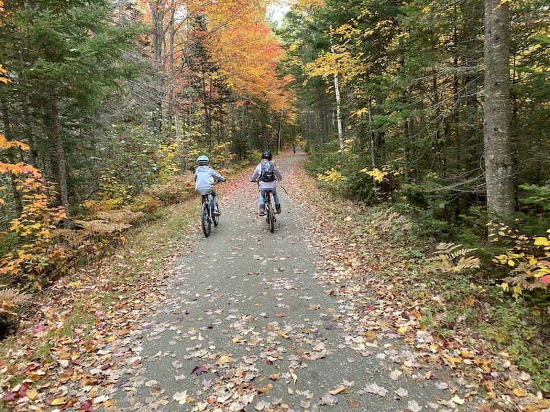
I love this town trail, mainly because the Carrabassett River it...
Mt. Abraham and Spaulding Mountain trail in yellow; Sugarloaf Mountain trail...
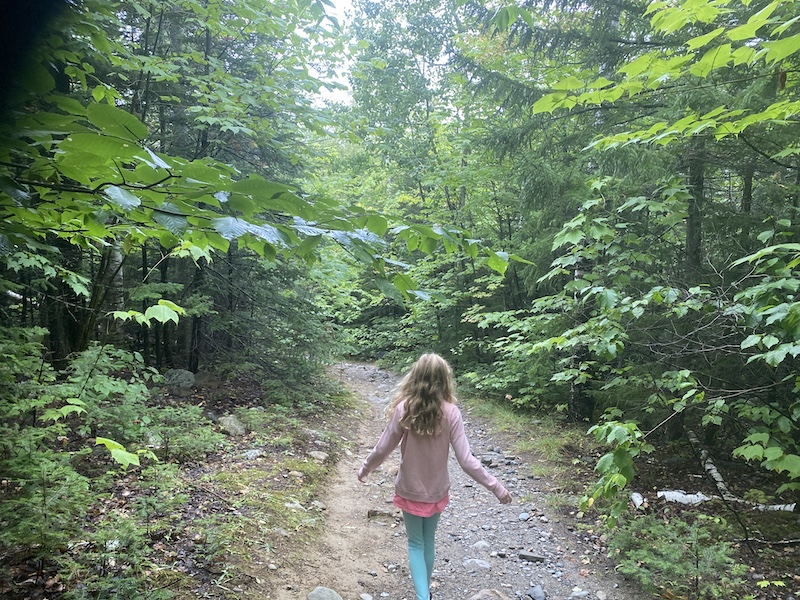
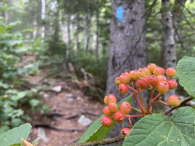
This is a delightful and easy 0.6-mile trail along Reed Brook...
(Incomplete map. There are more ski trails here, as well as...
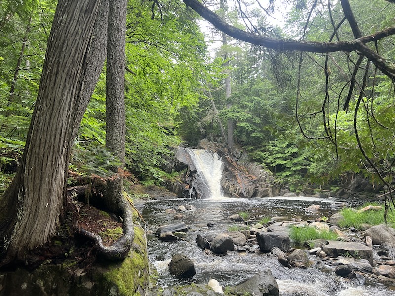
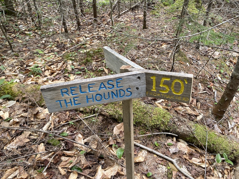
A Scenic 7 hike! Poplar Stream Falls, a shorter hike within...
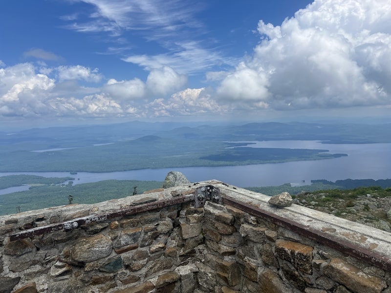
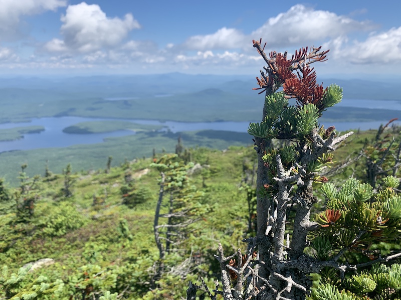
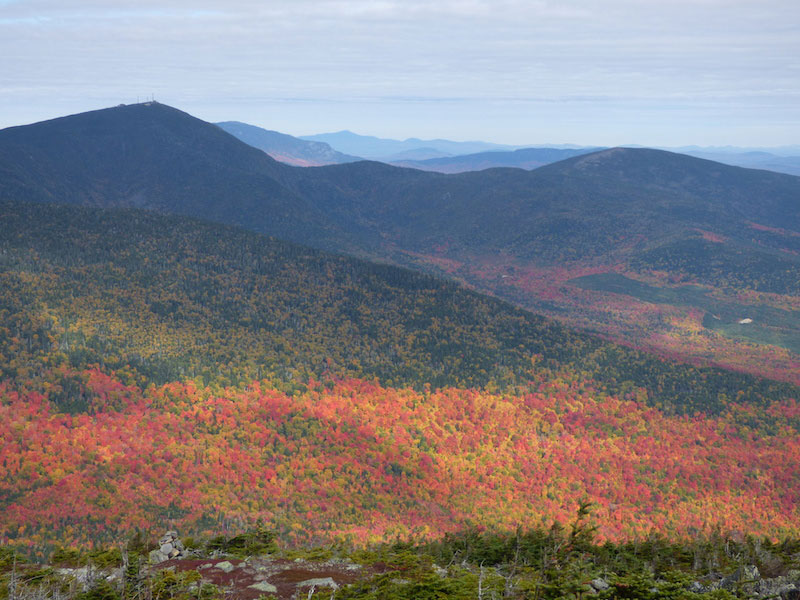
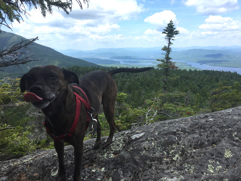
This is a popular hike up a 3,609-foot mountain that is...
(Map shows most of Bigelow Preserve. The section for Little Bigelow...