QUICK TRAIL FACTS
- Preserve Size: 58 acres
- Trail Mileage: 1.5 mile loop
- Pets: yes
- Difficulty: moderate
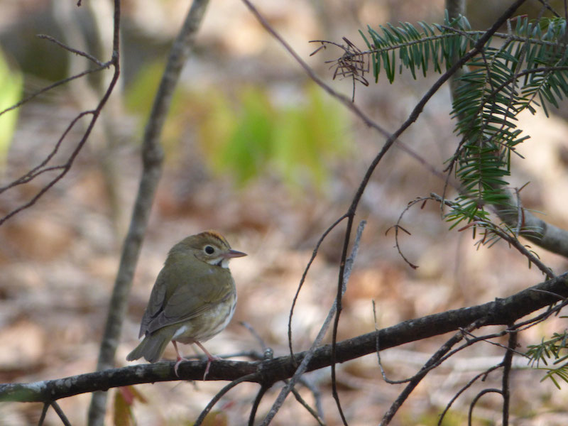
- Sights: blueberry barrens, views
A short loop trail (approximately 1.5 miles) through woods takes you to an outlook at the edge of blueberry fields, where a 0.1-mile spur brings you to a beautiful view of Trues Pond and Kingdom Bog from craggy bedrock in the middle of the barren. Part of the field is open to free blueberry picking when the berries ripen in July.
It’s roughly 0.6 miles to the summit (~800 feet) in either direction, but a bit steeper if you take a right at the loop intersection and go in a counter-clockwise direction. The total elevation gained in this hike is approximately 250 feet. The path is well marked.
The community rallied in 2023 to buy the land for conservation. Ownership and stewardship of the mountain has been transferred to Georges River Land Trust.
Directions: From Rte 3 between South China and Belfast, take Rt. 220 south for 0.8 miles. Turn left at the sign for the Vena M. Roberts Memorial Ball Field. Park in the lot behind Walker Health Center. The trailhead is at the far corner, past the ball field.