QUICK TRAIL FACTS
- Preserve Size: N/A
- Trail Mileage: 1.5 miles one way
- Pets: yes
- Difficulty: Challenging, elevation gain 1,233 ft.
- Sights: Views from 2,215-ft. summit
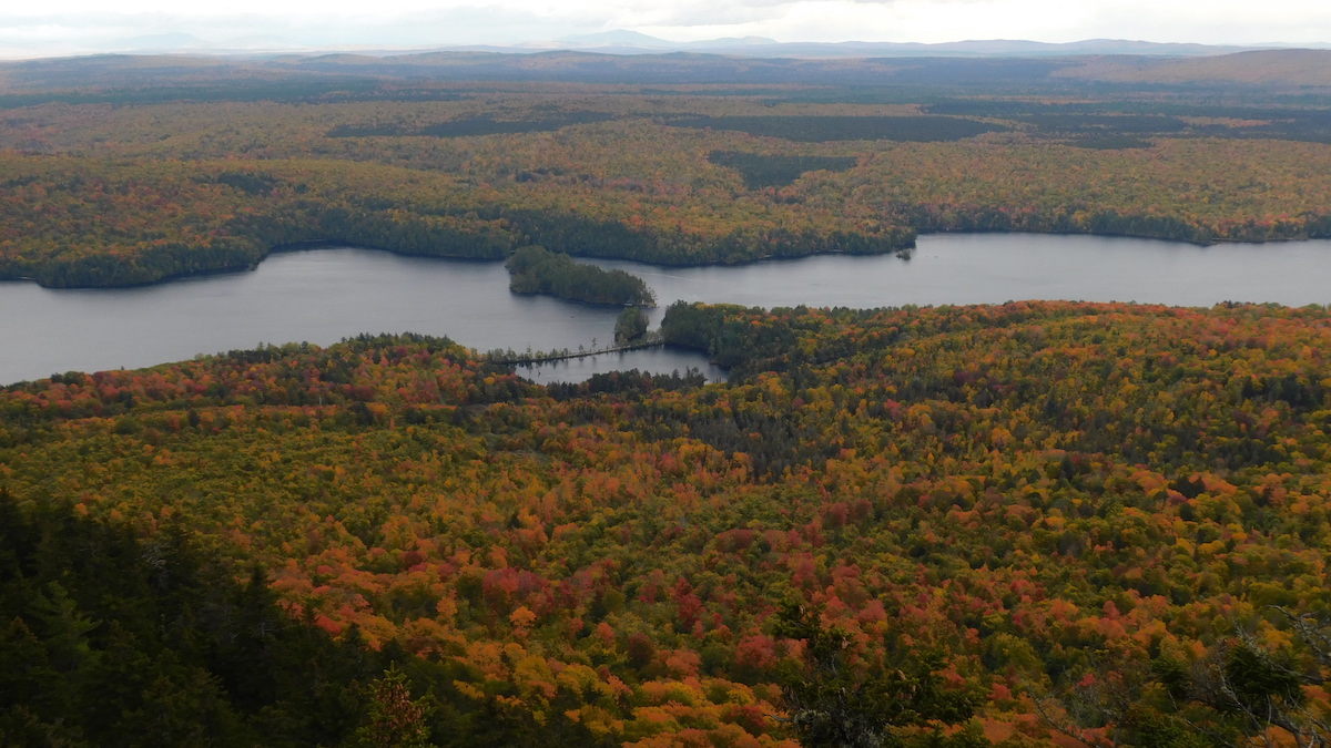
This little mountain (2,215 ft.) stands up from the surrounding countryside like a small insect bite. Regardless of the less than positive connotations derived from its name, this mountain is wonderful—with great views of the deep valleys, distant mountains, and ponds surrounding it.
After leaving the trailhead and crossing the powerlines, the trail quickly becomes steep. At 1.1 miles, you’ll come to an intersection, immediately after you’ve walked by a long moss-covered rock wall on your left (a natural wall). You should be able to see a faded yellow bear paw print on a tree here. Take the short side trail to the left to some extravagantly beautiful views. The summit trail continues on your right up some jumbled boulders.
When you return to the intersection, continue climbing steeply up the main trail (you’ll see a few faded yellow bear paw prints on the boulders). The summit and its views are .3 miles away.
Directions: From Route 201 in The Forks, turn onto Lake Moxie Road. Go 5.2 miles to the T-intersection. Take a right onto Troutdale Road. In 1.9 miles, after driving along an open section of road next to power lines, you’ll come to the small cleared area (there’s room for two or three cars) with a boulder on the right with a red bear paw print. The trailhead is at the upper left hand corner of the clearing.


