By Sam Shirley Moody Mountain, Hall Mountain, and Wyman Mountain all...
<span data-mce-type=”bookmark” style=”display: inline-block; width: 0px; overflow: hidden; line-height: 0;” class=”mce_SELRES_start”></span><span...
Appalachian Trail in dark blue; Foss and Knowlton Trail in red;...
<span data-mce-type=”bookmark” style=”display: inline-block; width: 0px; overflow: hidden; line-height: 0;” class=”mce_SELRES_start”></span><span...
<span data-mce-type=”bookmark” style=”display: inline-block; width: 0px; overflow: hidden; line-height: 0;” class=”mce_SELRES_start”></span><span...
<span data-mce-type=”bookmark” style=”display: inline-block; width: 0px; overflow: hidden; line-height: 0;” class=”mce_SELRES_start”></span><span...
Post by Tom Ancona White Cap Mountain (3,650 feet) is the...
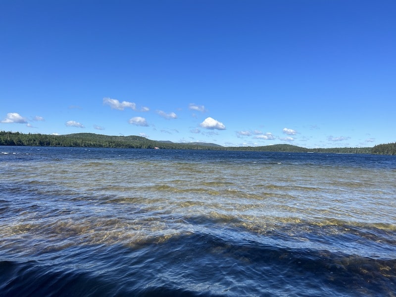
The ponds reachable via this leg of the AT are well...
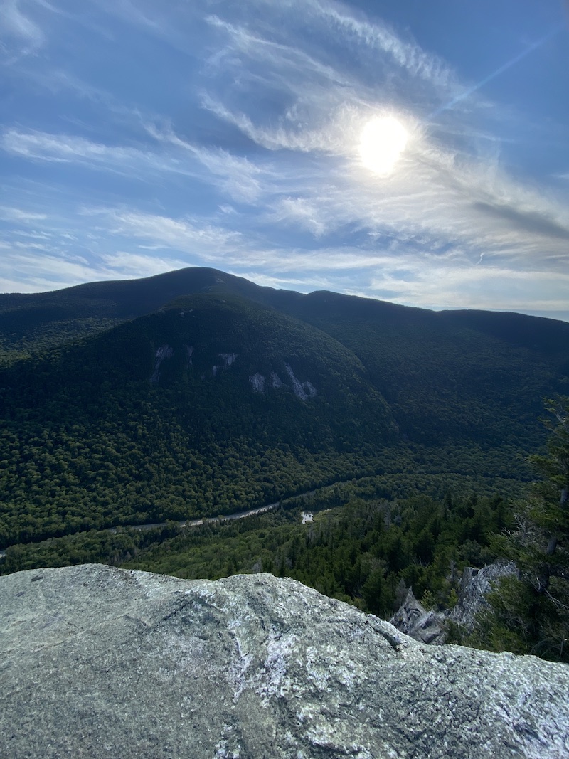
This Grafton Notch hike offers extraordinary views after a relatively easy,...
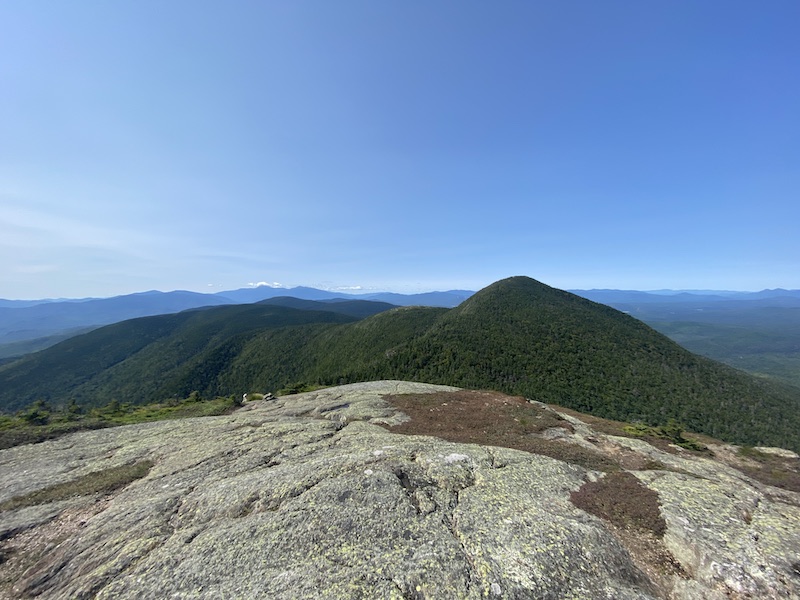
There are several routes to reach the top of this fantastic...
Mt. Redington loop trail in red; North/South Crocker trail in blue;...
Mt. Abraham and Spaulding Mountain trail in yellow; North/South Crocker and...
Several trails fan out from Daicey Pond, allowing you to explore...
Lost Pond Trail-Foss and Knowlton Trail-Grassy Pond Trail in red; Blueberry...
Trail up North/South Crocker in blue; Mt. Redington loop trail in...
These trails, part of the Fly Rod Crosby Trail network maintained...
Map Note: I have hiked the trails marked in blue on...
Just 2.5 miles or so farther up the road from the...
Grafton Notch West in blue, Grafton Notch East in orange. Side...
Eyebrow Trail in red (at the far western end of the...