QUICK TRAIL FACTS
- Preserve Size: 209,644 acres
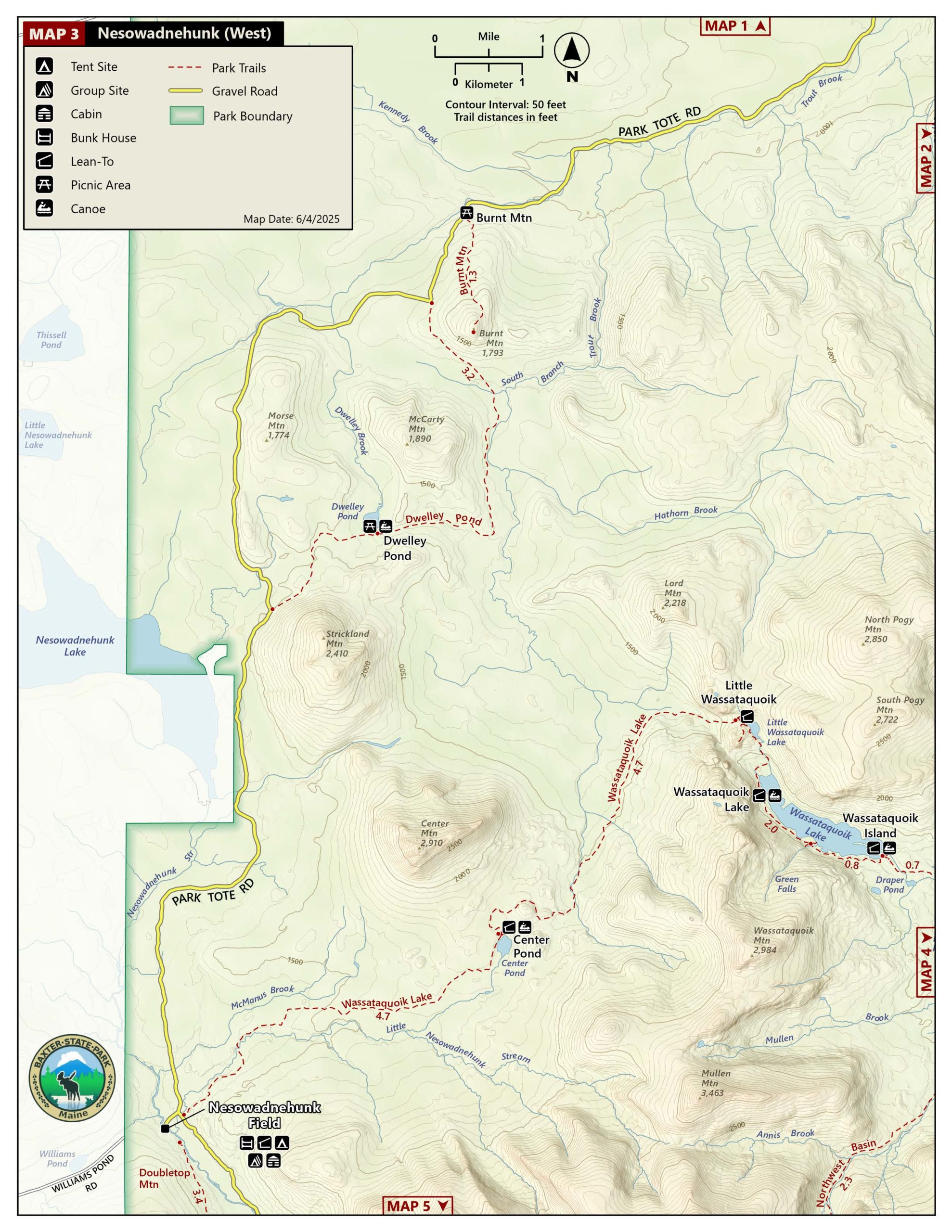
- Trail Mileage: 1.3 miles one way
- Pets: no
- Difficulty: moderate
- Sights: views
For relatively little effort (for this park at least!), you can hike to a lovely view of Baxter’s peaks and valleys.
The 1.3-mile trail follows a wide path to the 1,796-foot summit, along a weathered old road to the former fire tower that stood on the now view-less peak. (All that remains of this structure are the concrete feet.) The climb is fairly gradual until the final 0.25-mile push to the summit, when it gets a bit steeper. After arriving at the remains of the tower, the path continues a hundred yards or so beyond it to an open rock ledge with views. The elevation gain is 710 feet.
Here’s a great hiking resource to Baxter State Park, and a great map.
Directions: From the Matagamon Gate, the trail head is about 13.7 miles down the Park Tote Road. The trailhead and small parking area is on the left.


