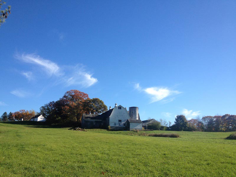
x
Maine by Foot

Main menu

Skip to content
  • Home
  • About
    • About Maine by Foot
    • Live Maps: Use the Maine by Foot Blue Dot
  • Map of Trailheads
  • Personal Favorites
    • Wonderful walks (that don’t involve hiking up a mountain)
    • Accessible trails
    • Bigger Mountains
    • Good Little Mountains
    • Bumps (or small hills)
    • Places to walk and take a swim
    • Places to X-C ski
    • Long(ish) Trails
    • Walks with Art or History
    • Island trails
  • Town Guide
  • County Guide
    • Androscoggin County
      • Auburn
      • Durham
      • Greene
      • Leeds
      • Lewiston
      • Lisbon
      • Livermore
      • Minot
      • Poland
      • Sabattus
      • Turner
    • Aroostook County
      • Aroostook State Park
    • Cumberland County
      • Baldwin
      • Bridgton
      • Brunswick
      • Cape Elizabeth
      • Casco
      • Casco Bay Islands
      • Chebeague Island
      • Cumberland
      • Falmouth
      • Freeport
      • Gorham
      • Gray
      • Harpswell
      • Harrison
      • Naples
      • New Gloucester
      • North Yarmouth
      • Portland
      • Pownal
      • Raymond
      • Scarborough
      • Sebago
      • South Portland
      • Standish
      • Westbrook
      • Windham
      • Yarmouth
    • Franklin County
      • Adamstown
      • Bigelow Preserve, Carrabassett Valley region
      • Carrabassett Valley, near Carrabassett Valley
      • Chesterville
      • Eustis
      • Farmington
      • Industry
      • Jay
      • Kingfield
      • Livermore Falls
      • New Sharon
      • Phillips
      • Rangeley, Rangeley Lakes Region
      • Rangeley Plantation
      • Sandy River Plantation
      • Temple
      • Weld, Near Weld
      • Wilton
    • Hancock County
      • Acadia National Park
      • Amherst
      • Blue Hill
      • Brooklin
      • Brooksville
      • Bucksport
      • Castine
      • Dedham
      • Deer Isle and Stonington
      • Ellsworth
      • Gouldsboro
      • Hancock
      • Lamoine
      • Mariaville
      • Mount Desert Island
      • Orland
      • Otis
      • Penobscot
      • Sedgwick
      • Surry
      • Sullivan, near Sullivan
      • Trenton
      • Verona Island
      • Winter Harbor
    • Kennebec County
      • Augusta
      • Benton
      • China
      • Farmingdale
      • Fayette
      • Gardiner and West Gardiner
      • Hallowell
      • Litchfield
      • Manchester
      • Monmouth
      • Mount Vernon
      • Oakland
      • Pittston
      • Randolph
      • Readfield
      • Rome
      • Sidney
      • Vassalboro
      • Vienna
      • Waterville
      • Wayne
      • Winslow
      • Winthrop
    • Knox County
      • Appleton
      • Camden
      • Cushing
      • Friendship
      • Hope
      • Owls Head
      • Rockland
      • Rockport
      • St. George
      • Thomaston and South Thomaston
      • Union
      • Vinalhaven
      • Warren
      • Washington
    • Lincoln County
      • Alna
      • Boothbay and Edgecomb
      • Bremen
      • Bristol
      • Damariscotta
      • Dresden
      • Jefferson
      • Monhegan Island
      • Newcastle
      • Somerville
      • South Bristol
      • Southport
      • Waldoboro
      • Westport Island
      • Whitefield
      • Wiscasset
    • Oxford County
      • Albany Township, Near Albany Township
      • Andover, near Andover
      • Bethel, and near Bethel
      • Brownfield
      • Buckfield
      • Canton
      • Denmark
      • Dixfield
      • Fryeburg
      • Grafton Notch State Park and Mahoosuc Public Lands
      • Greenwood
      • Hanover
      • Hartford
      • Hiram
      • Lovell
      • Newry
      • Norway
      • Otisfield
      • Oxford
      • Paris
      • Peru
      • Porter
      • Rumford
      • Stoneham
      • Stow
      • Sumner
      • Waterford
      • White Mountain National Forest
      • Woodstock
    • Penobscot County
      • Bangor
      • Brewer
      • Clifton
      • Corinna
      • Eddington
      • Grand Falls Township
      • Grindstone
      • Hampden
      • Hermon
      • Holden
      • Howland
      • Katahdin Woods and Waters Monument (or close by)
      • Lakeville
      • Lincoln
      • Millinocket, Millinocket Area
      • Mount Chase, near Mount Chase
      • Newburgh
      • Old Town
      • Orrington
      • Orono
      • Patten
      • Stetson
      • Veazie
    • Piscataquis County
      • Atkinson
      • Appalachian Mountain Club Maine Woods Initiative
      • Baxter State Park
      • Close to Baxter State Park
      • Debsconeag Lakes Wilderness Area
      • Dover-Foxcroft
      • Greenville, near Greenville
      • Guilford
      • Elliotsville Plantation
      • Monson
      • Willimantic
    • Sagadahoc County
      • Arrowsic
      • Bath
      • Bowdoin
      • Bowdoinham
      • Georgetown
      • Phippsburg
      • Richmond
      • Topsham
      • West Bath
      • Woolwich
    • Somerset County
      • Bingham, near Bingham
      • Cambridge
      • Canaan
      • Caratunk
      • Dead River Township, near Dead River Township
      • Fairfield
      • Jackman, near Jackman
      • Madison
      • Mercer
      • Moscow
      • New Portland
      • Norridgewock
      • Pittsfield
      • Skowhegan
      • Solon
      • West Forks, The Forks, near West Forks
    • Waldo County
      • Belfast
      • Frankfort
      • Freedom
      • Islesboro
      • Jackson
      • Knox
      • Liberty
      • Lincolnville
      • Monroe
      • Montville
      • Morrill
      • Northport
      • Palermo
      • Prospect
      • Searsmont
      • Searsport
      • Stockton Springs
      • Swanville
      • Unity
      • Waldo
      • Winterport
    • Washington County
      • Addison
      • Alexander
      • Baring
      • Beals
      • Beddington, near Beddington
      • Calais
      • Cherryfield
      • Cobscook Shores
      • Columbia, Columbia Falls
      • Cooper
      • Cutler
      • Dennysville
      • Downeast Lakes Community Forest
      • Edmunds Township
      • Eastport
      • Grand Lake Stream, or nearby
      • Harrington
      • Jonesboro and Jonesport
      • Lubec
      • Machias, Machiasport and Whitneyville
      • Milbridge
      • Pembroke
      • Perry
      • Roque Bluffs
      • Steuben
      • Trescott
      • Wesley
      • Whiting
    • York County
      • Acton
      • Alfred
      • Arundel
      • Biddeford
      • Buxton
      • Cornish
      • Dayton
      • Eliot
      • Hollis
      • Kennebunk
      • Kennebunkport
      • Kittery
      • Lebanon
      • Limerick and Limington
      • Lyman
      • Newfield
      • Ogunquit
      • Old Orchard Beach
      • Parsonsfield
      • Saco
      • Sanford and Springvale
      • Shapleigh
      • The Berwicks
      • Waterboro
      • Wells
      • York
  • More Resources and Info
    • Books, maps, and online sources
    • Scenic 7 Hiking Guide

Tag Archives: river

10.21.14

Fort Point and Robinson Trails

 Universally accessible “Fort Point Trail” in yellow. Robinson Trail in...
▶
10.10.14

Presumpscot Falls Park

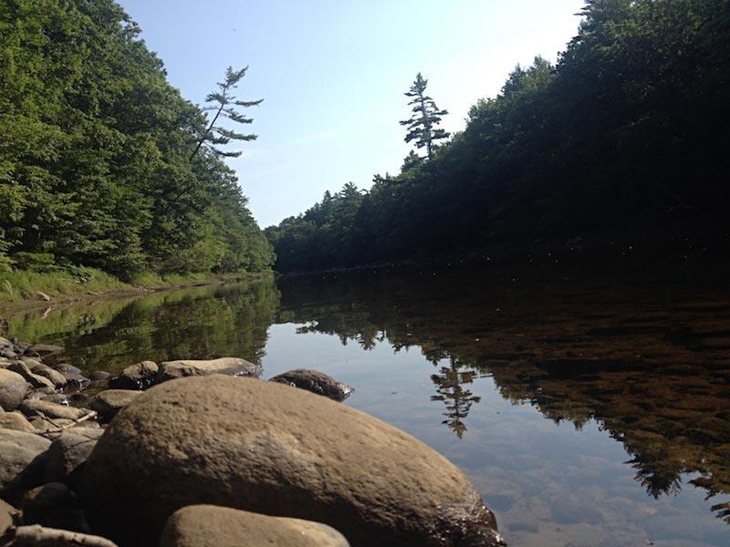
 This town park edges the Presumpscot River, with a trail...
▶
10.09.14

McCrann Preserve

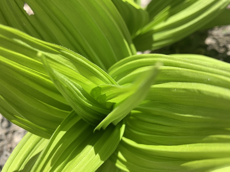
The McCrann Preserve is pleasantly wooded and well marked, with some...
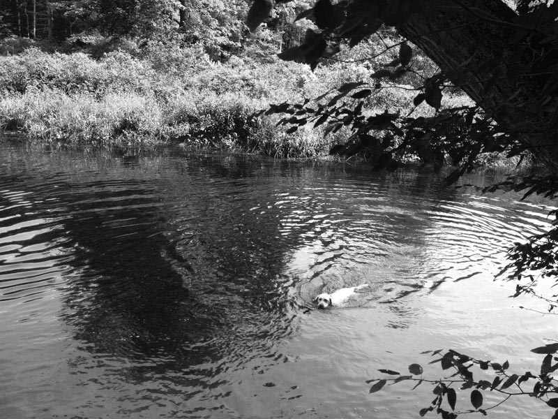
▶
08.11.14

Bass Falls Preserve

Hikers start out on this charming Midcoast Conservancy preserve by crossing...
▶
08.11.14

River-Link Trail

On the map above, River-Link Trail is red; Dodge Point is...
▶
07.07.14

Dodge Point Public Land

On the map above, Dodge Point is yellow; Zak Preserve is...
▶
05.13.14

Whitefield Salmon Preserve

The trail on this 56-acre Midcoast Conservancy preserve offers a pleasant...
▶
05.04.14

Ovens Mouth East and West Preserve

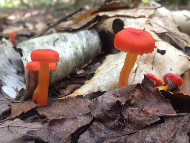
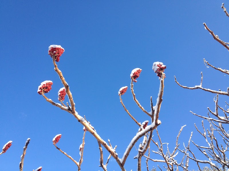
This is a real beauty! And quite popular because of it....
▶
04.19.14

Cathance River Nature Preserve and Head of Tide Park

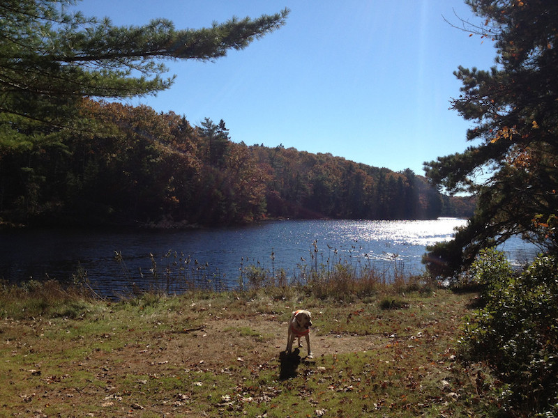
This is one of my favorite walks. It is a wonderful,...
▶
03.25.14

Griggs Preserve

 The 56-acre Griggs Preserve, protected by the Midcoast Conservancy, is...
▶
03.23.14

Spear Farm Estuary Preserve

Yarmouth’s town-owned Spear Farm Estuary Preserve offers a salt marsh, views...
▶
03.23.14

Sweetsir Farm Preserve

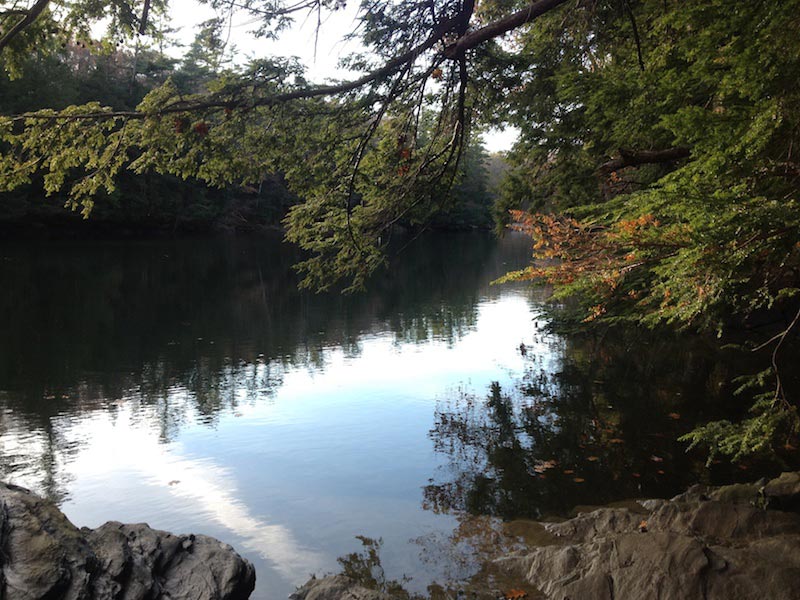
Follow a short, easy trail to the Royal River. Here’s a...
▶
03.23.14

Sligo Road Property

A short trail on this 35-acre town preserve crosses a little...
▶
12.29.13

River’s Edge Trail

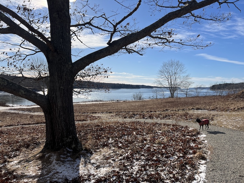
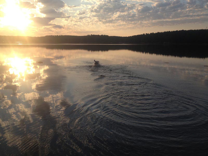
In about 0.6 miles, you can walk from the Casco Bay...
▶
12.26.13

Josephine Newman Audubon Sanctuary

 Map above show the Josephine Newman trails in blue and...
▶
12.16.13

Thorne Head Preserve and Whiskeag Trail

Trail in red on my map is accessible for rugged wheelchairs....
▶
11.29.13

East Freeport Trails

(East Freeport trails in blue, Calderwood Preserve in yellow, accessible trail...
▶
11.27.13

Berry Woods Preserve

Berry Woods trails are marked in red and Josephine Newman trails...
▶
11.17.13

Royal River Park

This is an idyllic community park, offering a 1-mile paved trail...
▶
11.09.13

Cathance Meadows

This is a short trail that takes you to views over...
▶
« Previous 1 … 11 12 13 14 Next »
© Maine by Foot