For relatively little effort (for this park at least!), you can...
Map shows trails near South Branch Pond and Trout Brook Farm...
Map shows trails near South Branch Pond and Trout Brook Farm...
Map shows trails near South Branch Pond and Trout Brook Farm...
Map shows trails near South Branch Pond and Trout Brook Farm...
Trout Brook Mountain in magenta. Map shows trails near South Branch...
Map shows trails near South Branch Pond and Trout Brook Farm...
Mt. O-J-I Trail in blue; Mt. Coe-South Brother-North Brother loop in...
Be ready for a long drive on back roads to reach...
Grafton Notch West in blue, Grafton Notch East in orange. Side...
Eyebrow Trail in red (at the far western end of the...
My map above shows the full extent of the connected trail...
Sentinel Mountain trail in yellow. The hike to the 1,863-foot mountain...
Map shows Bigelow Preserve trails. The Avery-West-Horns loop is marked in...
The public is allowed to walk (and snowmobile) the approximately 1.5-mile...
About two decades ago, this 5,200-acre area, which encompasses small mountains,...
Great Pond Mountain trails in blue. The Mountain Brook trail, in...
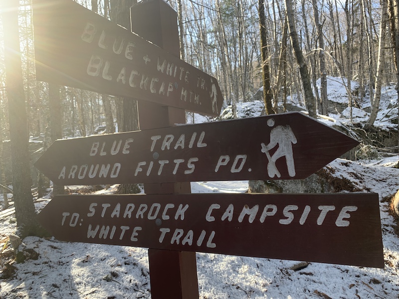
Trails in blue are Blackcap Mountain; Trails in red are Woodchuck...
Trails in red are Woodchuck Hill; Trails in blue are Blackcap...
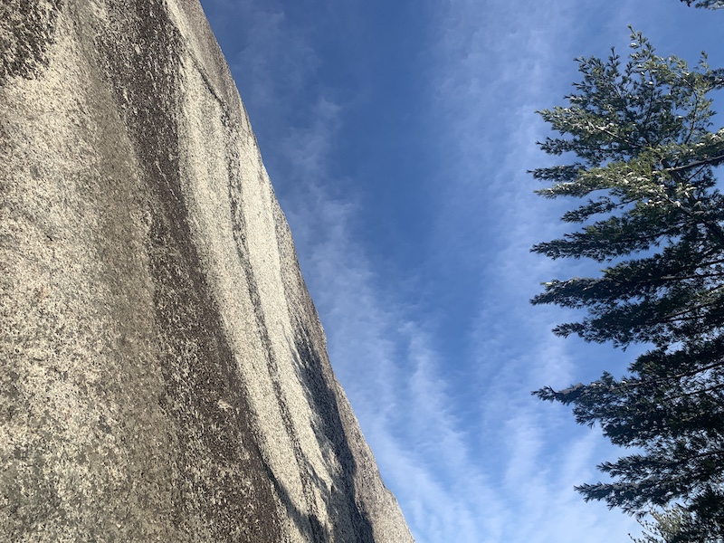
The 701-foot Eagle Bluff is wonderful whether you’re up high, standing...